LOCATION: Bristol, England
WORDS & PICTURES: Andy Thatcher
Eastern Bristol is speckled with commons. Go way, way back and this whole area was part of the Kingswood Forest, a royal Anglo Saxon hunting forest. This means that all the little verges, scrappy bits of wasteland and neat greens that I am about to find around the Bristol Ring Road are relics of hard-won ancient rights and custom.
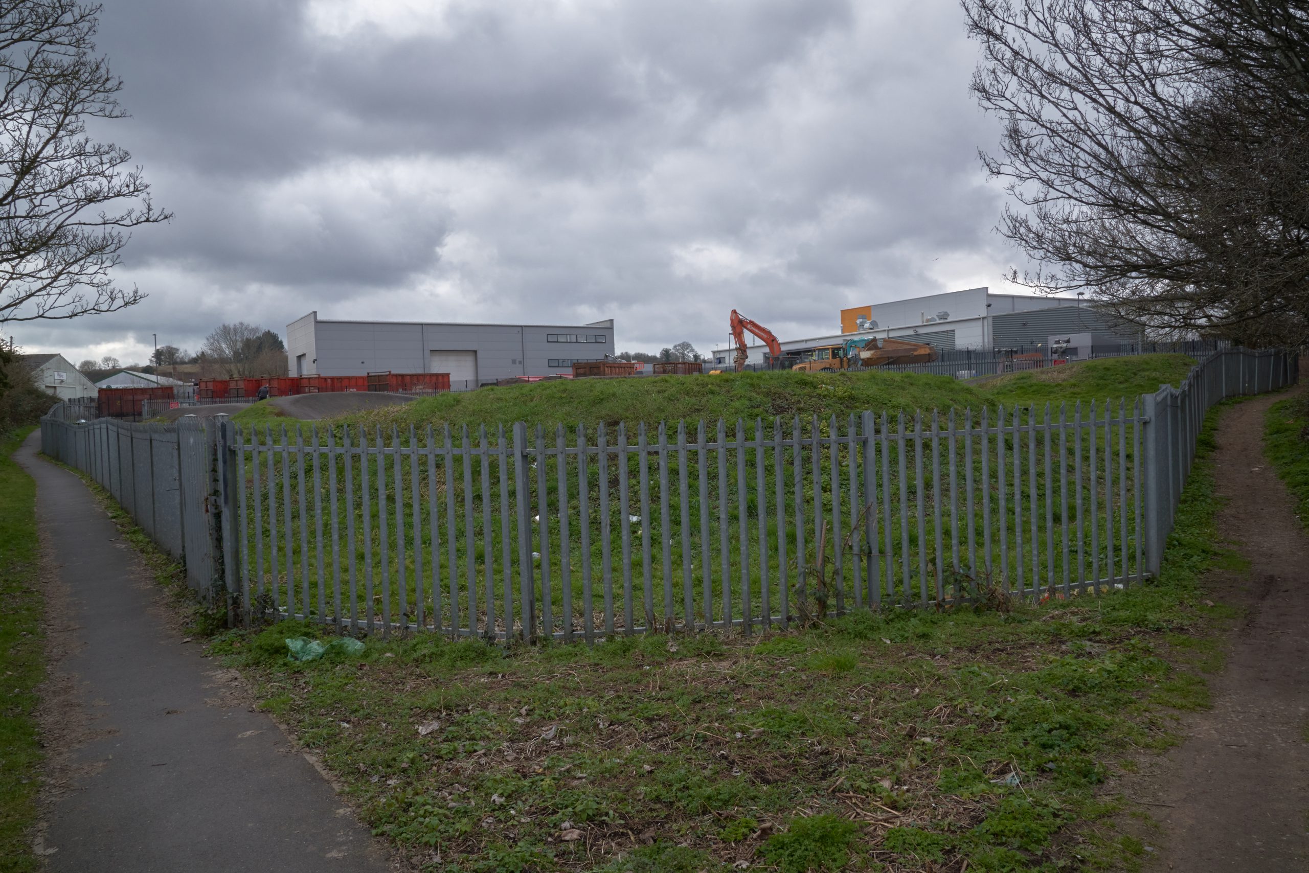
The day is getting on and I leave the car in the first car park I come to, promising the all-seeing gods of the Gallagher Retail Park that, when I return, I’ll placate them with something from the M&S food hall. This pilgrimage has been months in the making. Across the arterial road, a public footpath flows innocuously through the loud hulks of DFS and Buildbase. Its old walled hedgerows are still intact, and the blackthorn is exploding in slow motion with blossom, its dainty sparks the brightest objects on this drab afternoon. A few hundred yards on, the track opens out abruptly onto a clearing which is mostly fenced off with fat iron palings. They bristle with spikes ready to rip clothes and flesh.
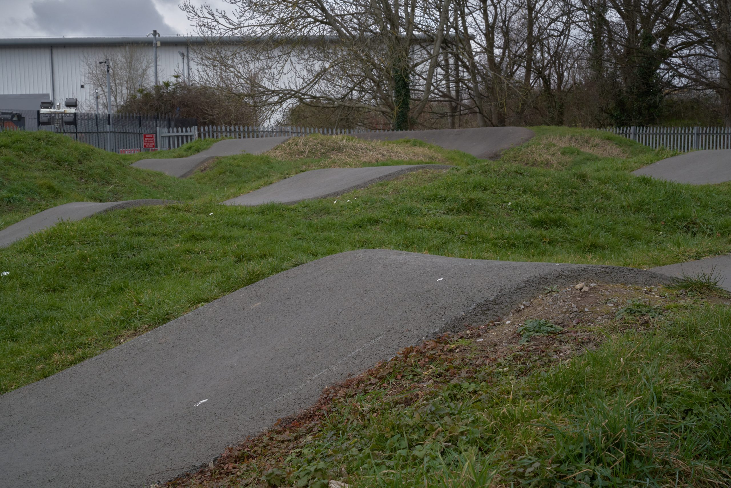
I’ve twice got lost looking for this place. Now I’m here, Longwell Green BMX Track doesn’t disappoint, because I know it by a much older name. This 0.79-acre patch of common land was once registered as Hinton Green. Its triangular shape, the peach and tangerine of Open Access Land on my Ordnance Survey map, also gives the game away: greens are generally at the intersection of old tracks. You find this shape surprisingly often – even Golders Green is there somewhere beneath its triangle of bus routes. But Hinton Green’s retail park location made it a must-see the first time I came across it, a splash of blue amongst the grey on Natural England’s distinctly cyberpunk-sounding Open Data Geoportal.
The BMX track is deserted except for a dad and his son, with his little helmet and scooter. They seem to have reached a lull in things. The dad is having a rollie and checking his phone. He spots me as I enter the track through an opening in the fence and we nod. I’ve been poking around with my conspicuous black Sony with its telephoto lens, and this is not a transparently Instagram-able place. The dad asks me what I’m taking pictures of. Not aggressive. Just checking me out. I explain I’m here because this is a common. He mulls that over. It’s not an answer he could have expected, but he takes it on board and relaxes a little.
‘It used to be a mess here,’ he tells me. ‘Motorbikes, mountain bikes, fly tipping. No one else was using it. Then someone came in and did all this.’
‘Probably the council,’ I say.
‘Can’t see the council doing that,’ the dad tells me.
‘Probably got some funding from somewhere.’
The dad still seems unconvinced, but the signage behind us tells me this is indeed what happened. And out of all the commons I visit today, I can’t think of any other which embodies more exactly what a common is about – a patch of land used for something fundamental, by people who don’t own it, and their casual, customary use in some way then becoming formalised as either a legal right or, as here, in the very fabric of a place.
The locals of Hinton Green might no longer need to graze sheep here, or cattle, horses, or geese. They don’t need it to collect gorse, firewood, mushrooms, seaweed or peat. It’s not being quarried, nor can you fish here. But kids need it to try out tricks on a scooter, meet up with mates, or get really fucking good at something that matters.
The dad and I wish one another well and I’m off to find Stephen’s Green and The Duck Pond, my final destination. The former is a pretty and remote green dotted with centuries-old lime trees and spotted with snowdrops. The latter, even more remote , caused an intensive but ultimately fruitless legal battle to get it deregistered, the main argument of which revolved around drains. Patches of blue are starting to appear amongst the grey clouds which loom heavy as car wash rollers. I think back to the places I’ve already visited and wonder how sunshine might have enlivened them.

I’d started my day at Charlton Common and ‘Land Bordering Fishpool Hill’ (commons are often registered under such prosaic titles). Charlton Common is just over four acres of largely bramble thicket, with one quadrant recently strimmed to the ground, then populated with a traffic cone, a rotted football, and partially decayed odds and ends of plastic. There are rights here for dog walking, which the people of a neighbouring estate make good use of along its metalled road, whether or not such rights are theirs. There are also rights for grazing horses and collecting the final mow of grass of the year (also known as the aftermath, the first and superior mow of grass being known as the foremath). It seemed a bit of a sad place on this gloomy day, though close to railway fencing, a flowering of filled plastic bin bags marked ‘Volunteer Litter Picking Waste’ suggests that some in the local community are determined to do what they can.
‘Land Bordering Fishpool Hill’ is a couple of fields to the west, half a mile of verges, scrub woodland, even an overgrown pond, running alongside decaying barns on Charlton Lane. Like a surprising number of commons, neither have a known owner; blank spots on old tythe maps.
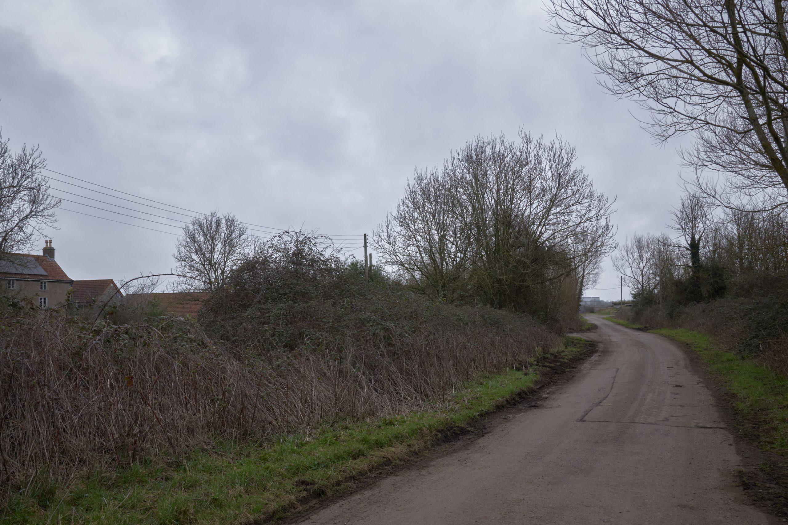
Charlton Lane and the road leading through Charlton Common both terminate in a tall security fence, beyond which lies Filton Airfield. It’s been over a decade since planes last took off from here, and much of its air strip currently homes unloved busses and other large, superfluous vehicles. The airfield was once one of Britain’s most important aviation sites, when our air industry was in its imperial phase. Concorde was developed here, as was the ground-breakingly huge, but commercially unviable, Brabazon airliner. Originally a relatively modest affair, the airfield was vastly expanded during WWI when requisitioned by the War Office, who also requisitioned and partly demolished the little hamlet of Charlton, to which both roads once led. The site was never given back, and the last of Charlton, pub and all, was sacrificed to the ill-starred Brabazon’s exorbitant runway demands.

The popular narrative of enclosure is of greedy capitalists and aristocrats gobbling up and hoarding all the land. While this undoubtedly is true up to a point, and has been given a new lease of life by hedge fund manager Alexander Darwall’s recent expulsion of wild campers in favour of animals you are actually allowed to shoot, the history of enclosure is far more complex, sometimes much less dramatic, occasionally even rather dull. The massive state land grab of the mid c.20th, however, is often left out of the picture; millions of acres requisitioned in wartime for forestry, crops and the military, much of it common land, and which was never, or never entirely given back. Charlton Common, it turns out, was once much larger, extending into what is now unused airfield, and I can’t help but wonder how much of this high, flat plateau was once common heathland. Certainly, a few tell-tale clumps of gorse were waggling in the breeze at the security fence.
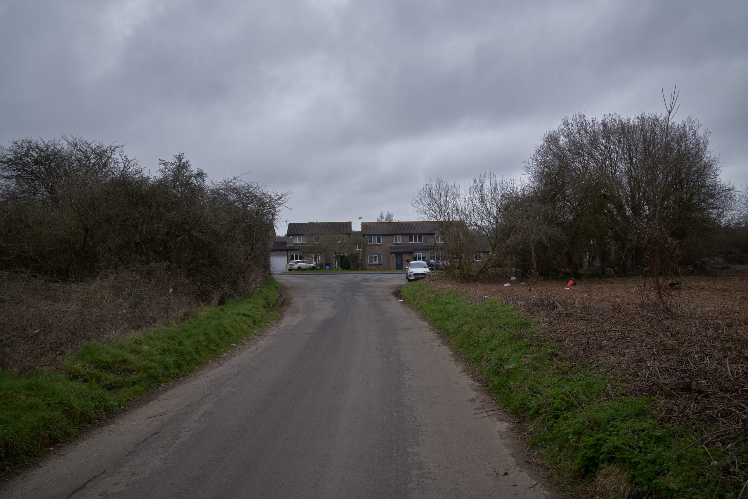
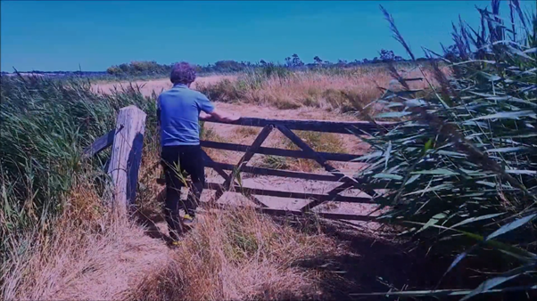
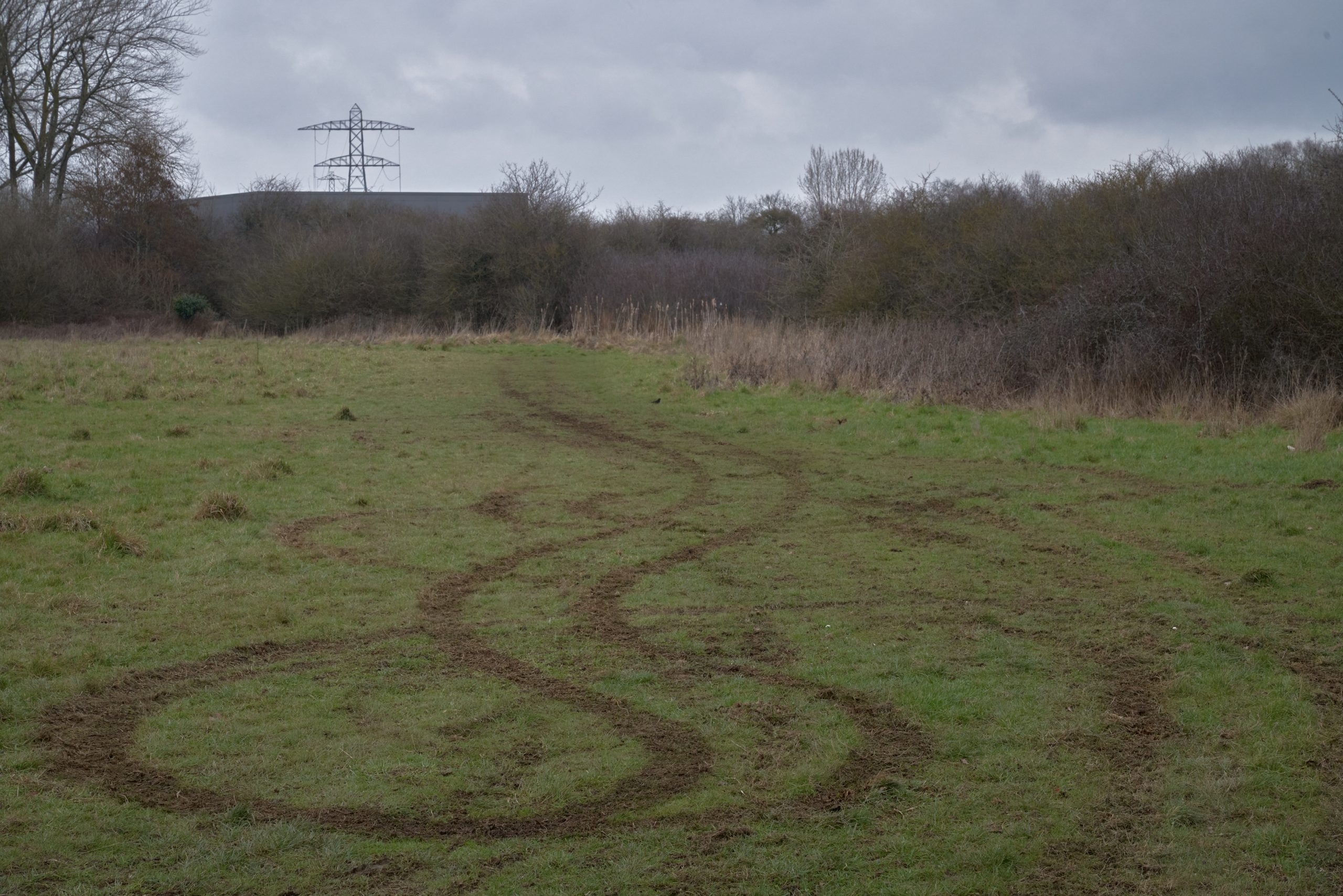
I struggled to find Lyde Green Common, further around the ring road and also with no known owner. I struggled first because my map’s landscape of fields, farm buildings and footpaths has sprouted a crop of newbuild homes and distribution centres – and because Lyde Green Common is neither signposted nor even exists on any usable, up-to-date online street map. For the hell of it, I turned onto a road beside the DPD depot because the development of apartment blocks down that way is called Howsmoor Common. Beyond the blocks I could make out the fiercely bristling line of bramble and willow which runs on, past and beyond the charmingly literal Logistical Support Services depot. I decided this must be the place, parked up the car at a road which terminates in concrete blocks and shattered glass, and joined Westerleigh Road, the one recognisable road on my out-of-date map. Twenty-acre Lyde Green Common is a few meters on, the largest common of my day.
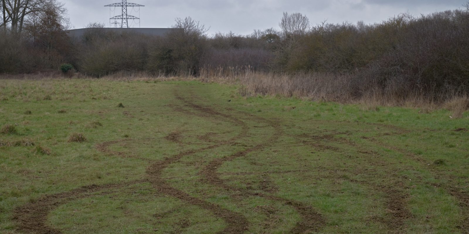
The common is largely unkempt grassland, but bisected by a little wooded brook across which some thoughtful soul has placed logs so I could totter across. Lyde Green is, alas, not in great nick, and the signage at the entrance seems rather apologetic when it insists on the all this wonderful nature a stone’s throw from the M4’s relentless HGVs. There’s litter everywhere, and pink styrofoam dumped in one corner had started to break up and blow across the site, the dystopian cherry blossom of an Anthropocene hellscape. At the far end is the crumbling black shell of Whitehouse Farm, its white farm gates laid to rest against the walls fronting it. There are dumped mattresses, gas cylinders and serpentine vehicle tracks in the grass leading to where someone has been practicing doing donuts.
But for all this, I warmed to the place. Sure, it’s a tatty bit of edgeland right now, but once the houses are finished and inhabited, once the community starts to cohere, doubtless a Friends of… group will form, and all the future litter-pickers, pond-diggers, bird-box erectors, fund-raisers, organisers and campaigners will find one another. Maybe someone will work out who has rights of pasture and will take their pick from the legally-protected options for grazing animals – sheep, cattle, horses, goats, geese, donkeys, ‘animals’. A petting zoo seems entirely doable. Then maybe fresh signage will take more pride in this place which has held back the tide of development, leaving a place for play, reflection and nature thanks to the bestowal of ancient rights.
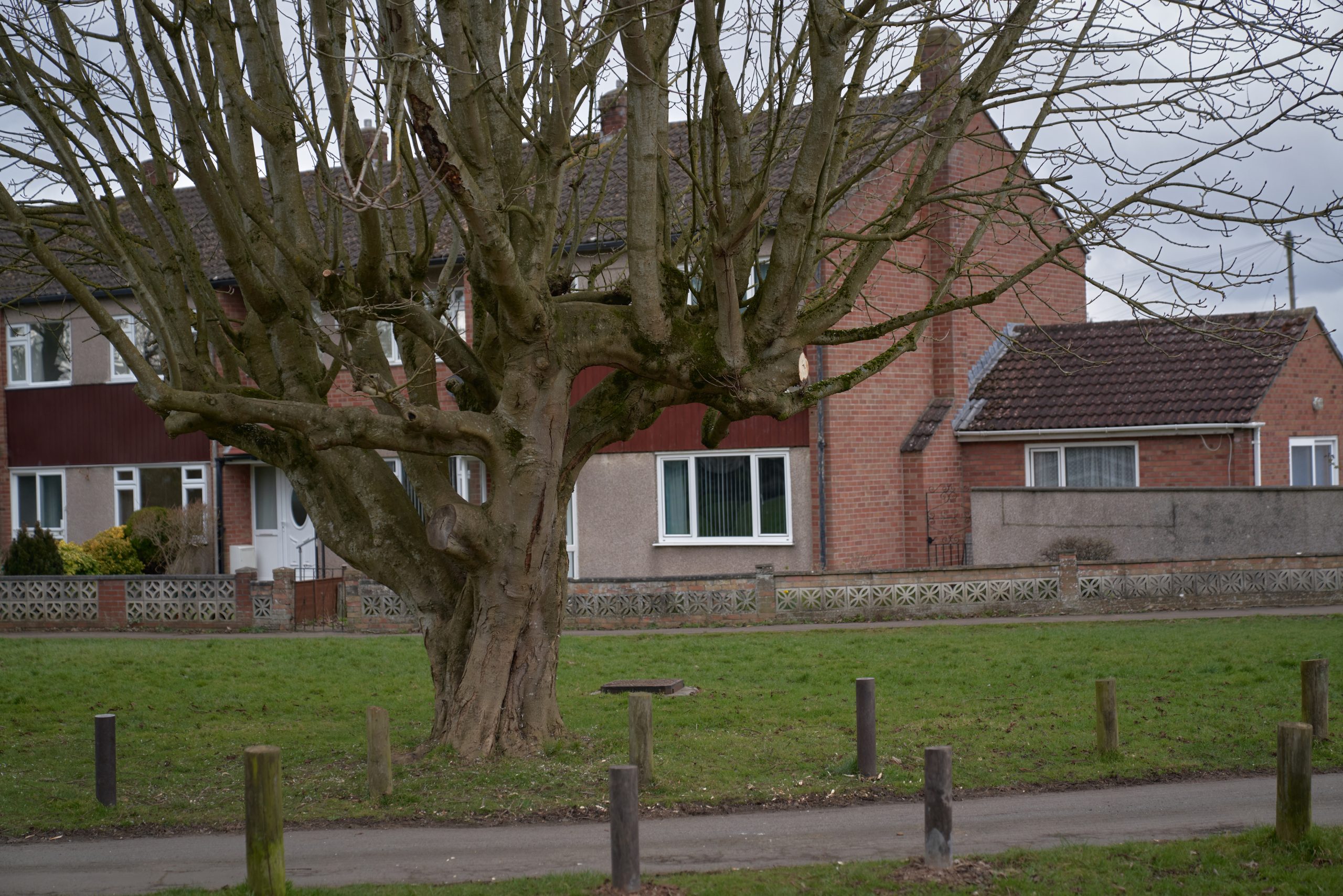
Before the light goes, I make time for one last visit. This time it’s to the parish of Mangotsfield, through which runs a semi-circle of council-owned common verges, greens and tracks. Mangotsfield became thoroughly suburbanised from the 1950s onwards and its commons are trimly kept. There’s a pond at Vinney’s Green, fenced in and with strict notices forbidding the use of nets and the taking frogspawn. A separate notice threatens a twenty quid fine for anyone reckless enough to ‘beat, shake, sweep, brush or cleanse any carpet, drugget, rug or mat, or any other fabric retaining dust and grit’ amongst other equally heinous crimes.
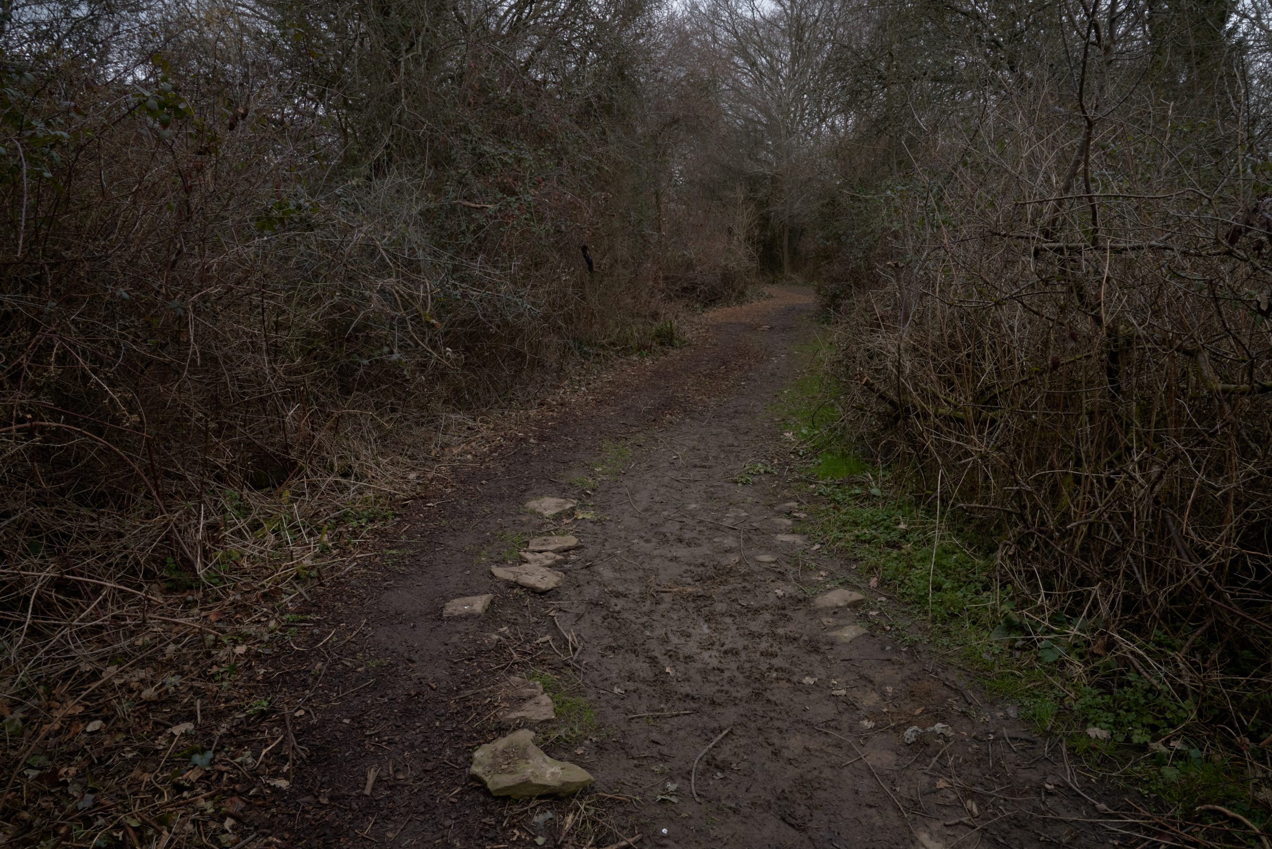
There’s Emerson’s Green, another perfect triangle, whose signage proudly boasts of its annual conversion into wildflower meadow by eager volunteers, and nearby the ancient drove road known locally as Muddy Lane (stones placed long ago for crossing the really treacherous spots). These are the spaces where generations of kids have learned to play footie, billions of dog walks have taken place, trees have been climbed, birds have nested, bees have pollinated and traffic emissions removed from the air. And about which the people of Mangotsfield can sleep easy in the knowledge that developers will never be given permission to shoe-horn in a few more houses. Unremarkable spaces, perhaps – you’d drive past almost without noticing them – but as protected in law as Grade I listed buildings or the habitats of vanishingly rare damselflies.
Mangotsfield – and Bristol – are all the richer for these unexpected, ancient places.
ABOUT THE AUTHOR:

Andy Thatcher is a post-graduate researcher at the University of Bristol where he is exploring ways of making films about common land. His films have screened internationally at conferences and festivals and his photography has appeared in The Guardian. He was born in an old workhouse on Farnborough Common (this is actually true) and now lives in Exeter where he is writing a book about common land. You can read Andy’s blog here and follow him on Twitter,